Himekawa Gorge Area
Erosion and Denudation of Giant Mountains
The Himekawa Gorge ranges in depth from 200 to 500 meters and was formed by the intense erosion of the surrounding mountains by the Himekawa River. Along Kuzuha Pass, bordering Nagano prefecture, you can easily observe the erosion and denudation of the mountains in this ravine.
Kuzuha Pass itself, located on the west bank of the Himekawa River, was formed as a result of the collapse of Mt. Manaitayama which sits on the opposite side of the river. This plateau-like block is 150 m high from the riverbed and is 1 km by 500 m in area. This block consists of a layer of fragile Permian sedimentary rock on top of a section of clay-like breccia. We can estimate the speed of erosion of this valley through these collapses. By observing wood fossils trapped in the clay bed, we know that two collapses occurred, one 500 and the other 1000 years ago.
At the Gamaharazawa River, a tributary of the Himekawa River, a large avalanche of earth, rocks, and other debris occurred, killing 14 people. A monument was erected at the site in memory of those lost.
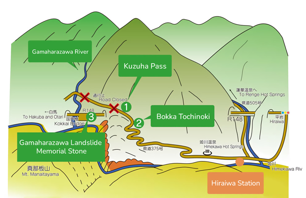
1Kuzuha Pass
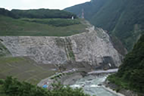
This mountain pass is located along the Himekawa River between the hamlet of Hiraiwa and Itoigawa's border with Nagano Prefecture.
Once known as one of the most dangerous sections along the Salt Trail, it is made up of fragile rock which collapsed off of Mt. Manaita
across the river. Two collapses 500 and 1,000 years ago dammed the river into a lake. As the river eroded the natural dam, it carved out the
pass we see today. The pass collapsed in 1995 during the July 11 Flood and work continues to repair and reinforce the cliff.
2Bokka Horse Chestnut
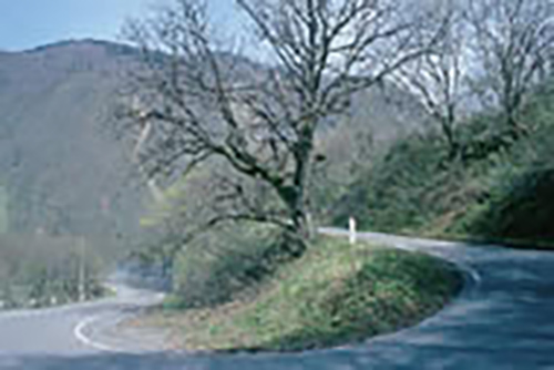
This large tochinoki, or Japanese horse chestnut tree, is a city-designated natural monument. Its trunk is 4.5m in circumference and the branches fan out over 21m. Located along the Salt Trail, this tree acted as a landmark and resting area for the bokka porters who carried goods back and forth along the trail.
3Gamaharazawa Debris Flow(Landslide)
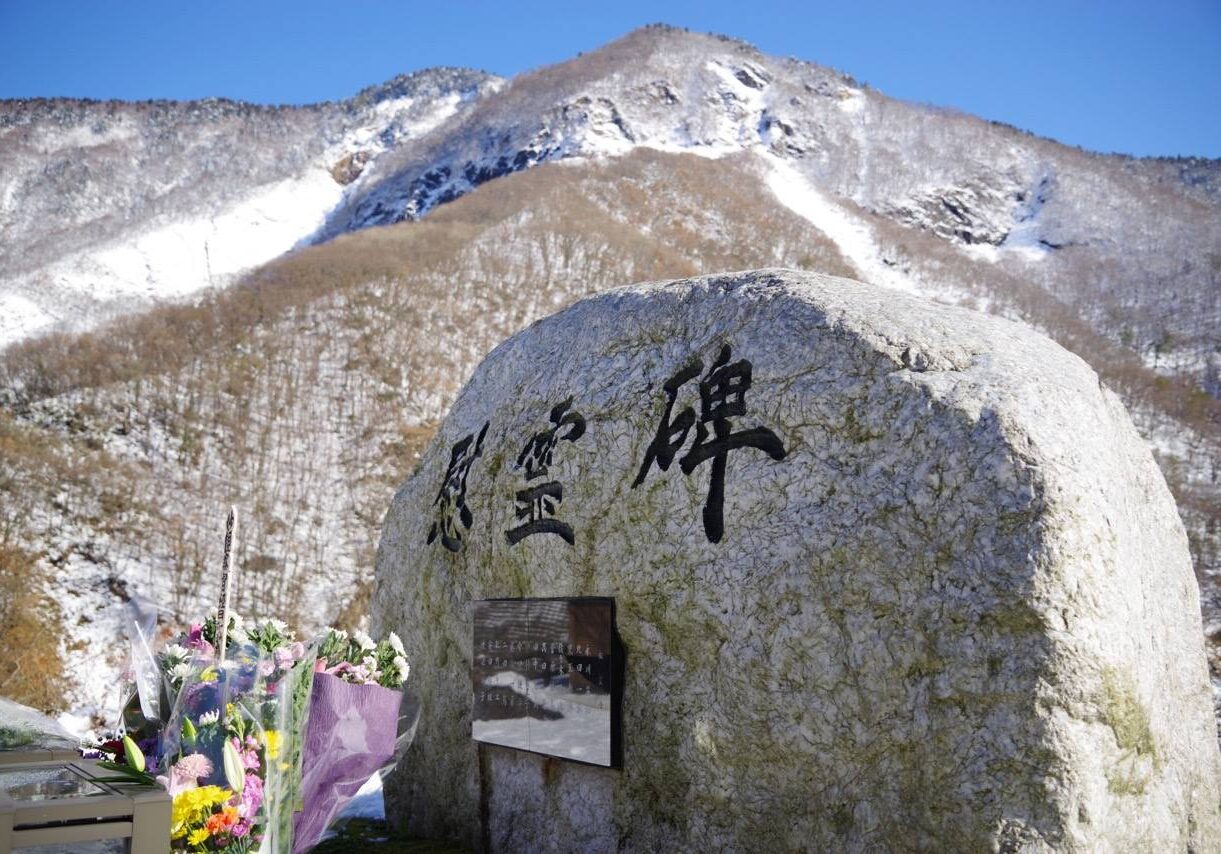
Memorial to the Gamaharazawa Debris Flow on Kokkai Bridge
The Gamaharazawa River flows along the border between Nagano and Niigata Prefectures. During the July 11 Flood of 1995, the concrete bridge which had just been finished two years before was destroyed by a debris flow-type landslide. In December 1996, as work was underway to repair the bridge, another massive debris flow occurred, destroying the bridge and taking several lives.
4Hiraiwa Station
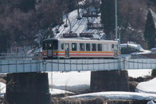
Hiraiwa Station is on the Oito Line which runs from Itoigawa through Otari and Hakuba to Matsumoto in Nagano Prefecture. The line is popular with tourists for its stunning views of the Himekawa Gorge and Northern Alps.
From July through October, a shuttle bus to Renge Hot Springs and the Mt. Shirouma Trailhead departs from here.
7.11 Flood
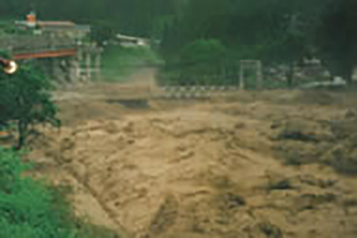
Flood of July 11
The Himekawa River is among the cleanest rivers in Japan. However, it also flows extremely quickly and often floods. On July 11, 1995, over 300mm of rain fell over a 24 hour period across Otari Village in Nagano Prefecture. The heavy rainfall caused the river to overflow, sweeping through the Hiraiwa community, causing mudslides and extensive damage to roads, the Oito Line, and buildings. The flood also had a lasting effect on the plant and animal life in the region.
The effects of this disaster can still be felt in the local communities and the local economy and population have yet to fully rebound.
Area Access & Closures
【Hiraiwa Station-Gamahara Road】Closed at Kuzuha Pass


