Imai Area
Rocks and Formations Created Alongside Fossa Magna
This region is located on the west side of the Itoigawa-Shizuoka Tectonic Line, along the west bank of the Himekawa River mouth. Here there are green tuff formations created by submarine volcanic activity during the formation of Fossa Magna.
From this unusual rocky outcrop, we now know that green tuff formations were formed here by tectonic action along the Itoigawa-Shizuoka Line some 17 million years ago. From this outcrop, the view of Fossa Magna and the Itoigawa-Shizuoka Tectonic Line is superb, with mountains spreading as far as the eye can see.
In this green tuff stratum, remains of former mining tunnels and other facilities remain. In addition, this area is rich in acid clay, a material used in the production of desiccants and in the purification of oil. In Japan, this material is only found here and in Tainai City, in northern Niigata prefecture.
Also in Imai one can find Fudotaki Fall, a 3-step, 70 meter waterfall comprised of Paleozoic rock, and a campground and a pond home to many dragonflies.
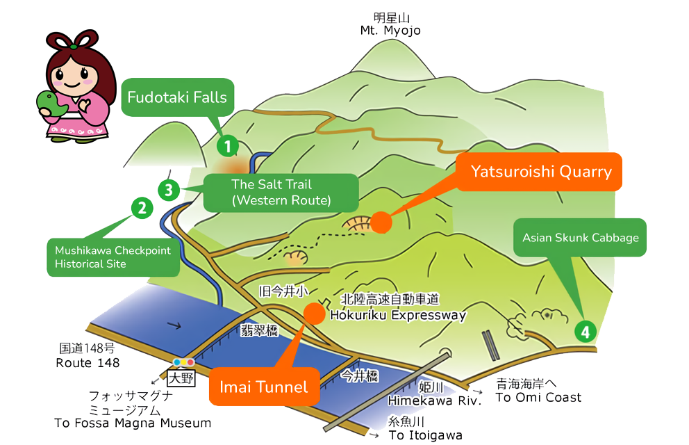
1Fudotaki Falls
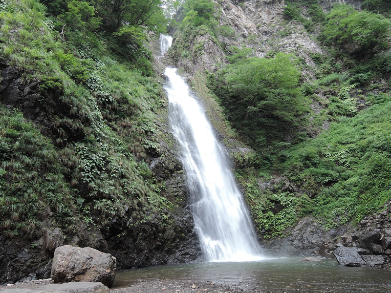
Fudotaki Falls
A gushing 70 m tall, three-tiered waterfall, Fudotaki Falls is surrounded on three sides by heavily forested mountainsides, making the area cool, almost even chilly, even in midsummer. Atop a large boulder in front of the waterfall’s basin sits a small water shrine in which Takaokami-no-kami is enshrined. An ancient legend says that if the water here is ever polluted, this dragon-god will ravage the land under torrential rainfall. In spring, melting snow maximizes the waterfall’s volume. Around the waterfall is a park, footpath, and campground.
2Mushikawa Checkpoint Historical Site
Mushikawa Village
The small community of Mushikawa, named for the nearby river, was an important stop on the western route of the Salt Trail. A “sekisho” checkpoint was built in this village at the order of local lord Uesugi Kenshin in the 16th century. Checkpoints like this one served to control the flow of goods and people along the major roads of ancient Japan.
Today, the former village of Mushikawa is mostly uninhabited, although some maintain summer residences here in order to work their family fields.
3The Salt Trail(Western Route)
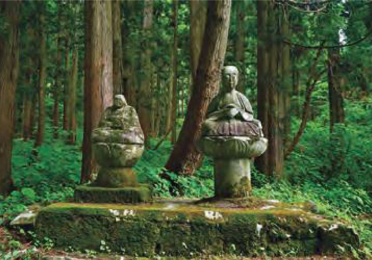
Kenshin Shingen Jizo Statues
The Salt Trail, also called the Matsumoto Highway, was an ancient route once used to transport salt, marine products, and other goods to and from Matsumoto in Shinshu Province (modern day Nagano Prefecture). Crossing the Himekawa River was difficult in those days, so two routes, an Eastern Route through Omi and Nechi and a Western Route through Toumi and Mushikawa, were used to get to Otari Village in Shinshu. Walking this western route through Imai Area provides spectacular scenery at the higher altitudes.
4Asian Skunk Cabbage
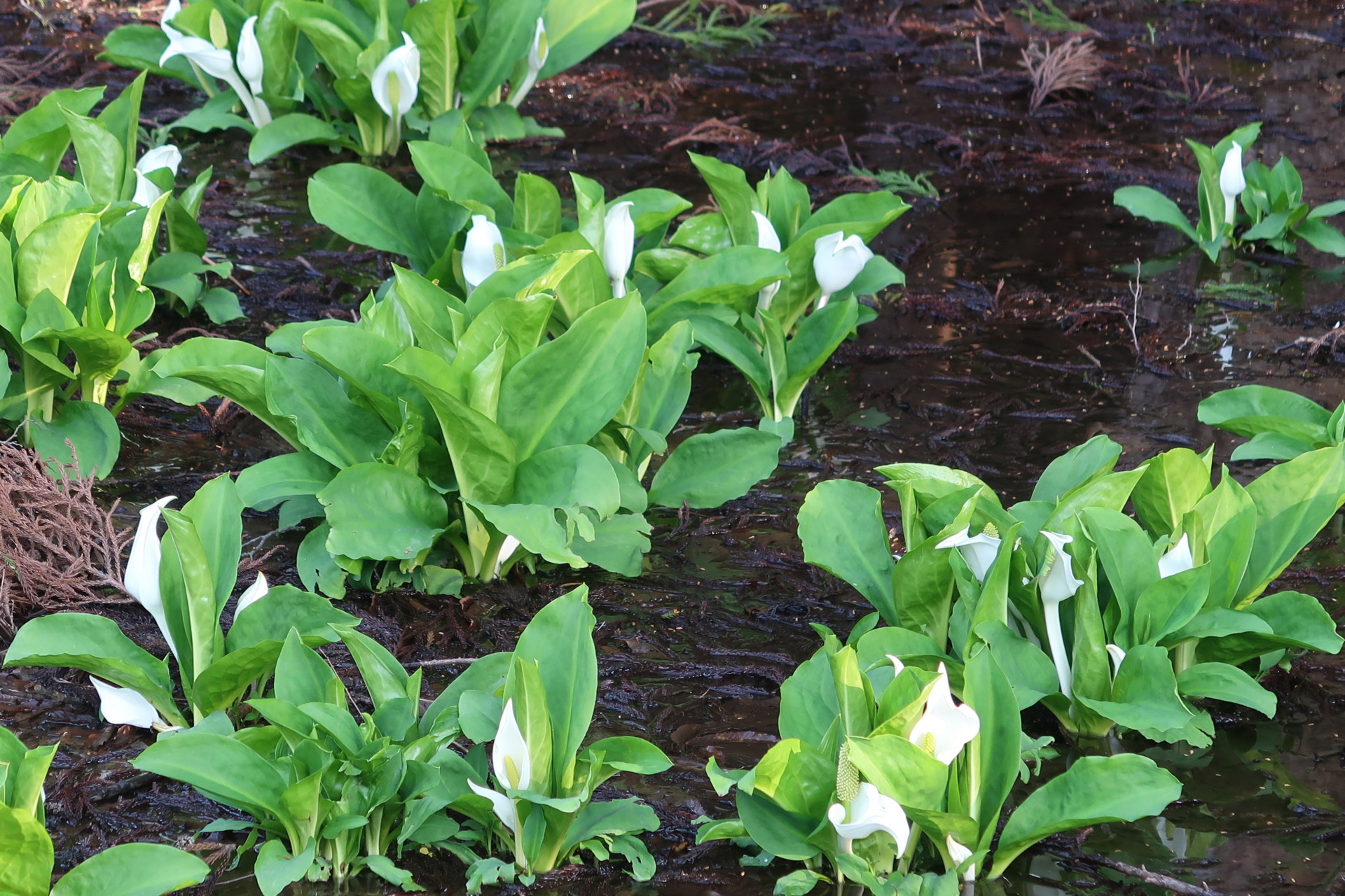
Suzawa Asian Skunk Cabbage
The Suzawa Asian Skunk Cabbage Colony is located at the foot of the mountains south of Itoigawa’s Suzawa District. Only about 1 km from the coast at an elevation of 5 m, it’s closer to sea level than any other natural colony in Japan. About 5000 of these plants bloom from May through April, presenting a beautiful contrast of bright green leaves and the white, flower-like spathes of these alpine plants.
5Imai Tunnel
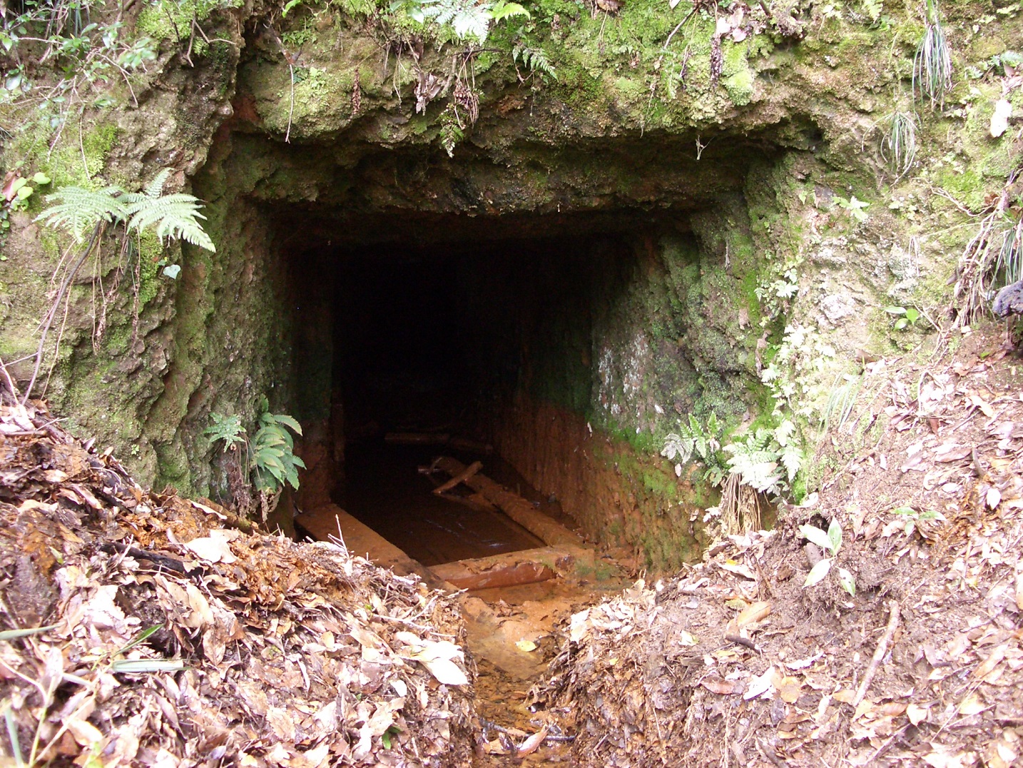
Itoigawa’s Imai Region has a long history of mining and quarrying. Yatsuroishi stone was quarried here since the 1600s and kaolin white clay was first quarried in the early 1900s. More recently, the area has become home to a number of gravel quarries. Tunnels which can be seen in the mountainside are remnants of the area’s mining history.
6Yatsuroishi Quarry
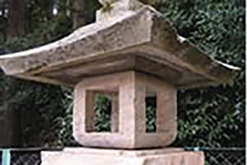
Yatsuroishi is a local name given to a particularly high quality type of rhyolite found in Imai. Quarried here since Japan’s feudal era, this stone can be found in the stone lanterns and foundations of shrines and temples throughout Itoigawa. It was highly prized for being easy to work with and resistant to weathering.
Crystals
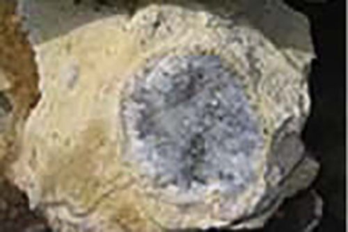
Long ago in Imai, agate was mined and used in making jewelry. This agate was formed by the same volcanic activity that produced yatsuroishi.
Area Access & Closures
【Oka-Kuratani Road (Kotaki to Fudotaki Falls and Takabatake】Closed due to rain damage from July 27 (Mon) 【Fudotaki Road (Imai to Fudotaki Falls)】Reopened. Be careful when driving.


