Maikomidaira Area
Karst Topography and Alpine Plants
Karst topography is a type of landform created when large areas of soluble rock (such as limestone) dissolve, leaving behind unique stone formations and caves.
Maikomidaira is a large polje, a type of basin that is characteristic of karst topography. Situated on the southern side of Mt. Kurohime, a 1,222 meter limestone mountain, the entire region is blanketed with dolines, ponors, vertical caves, and other features of karst topography.
As a result of continued uplift of the surrounding limestone areas, several vertical caves measuring hundreds of meters deep have taken form in the area. Including Byakurendō Cave (Deepest in Japan at 513 m) and Senridō Cave (Second deepest at 405 m), Japan's four deepest caves are all found here in Maikomidaira! Water which collects in Maikomidaira travels through a subterranean river network about 3.5 km to Fukugakuchi Limestone Cave where it is expelled into what becomes the Tōmi River, which empties into the nearby Sea of Japan at Lavender Beach.
The region's heavy snowfall collects in Maikomidaira's many dolines, where they often remain throughout summer, creating an environment similar to that of the glacial periods. Near the bottom of theses dolines, the snow creates microclimates supporting a variety of alpine flora which normally can only be found at elevations above 2,500 m!
Because of the area's ecological and geological value, as well as the dangerous nature of the topography, entrance to Maikomidaira is restricted to those who have obtained special permission.

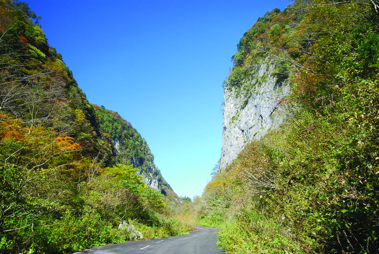
Jōdōmōn - "Heaven Gate"
(Entrance to Maikomi-daira)
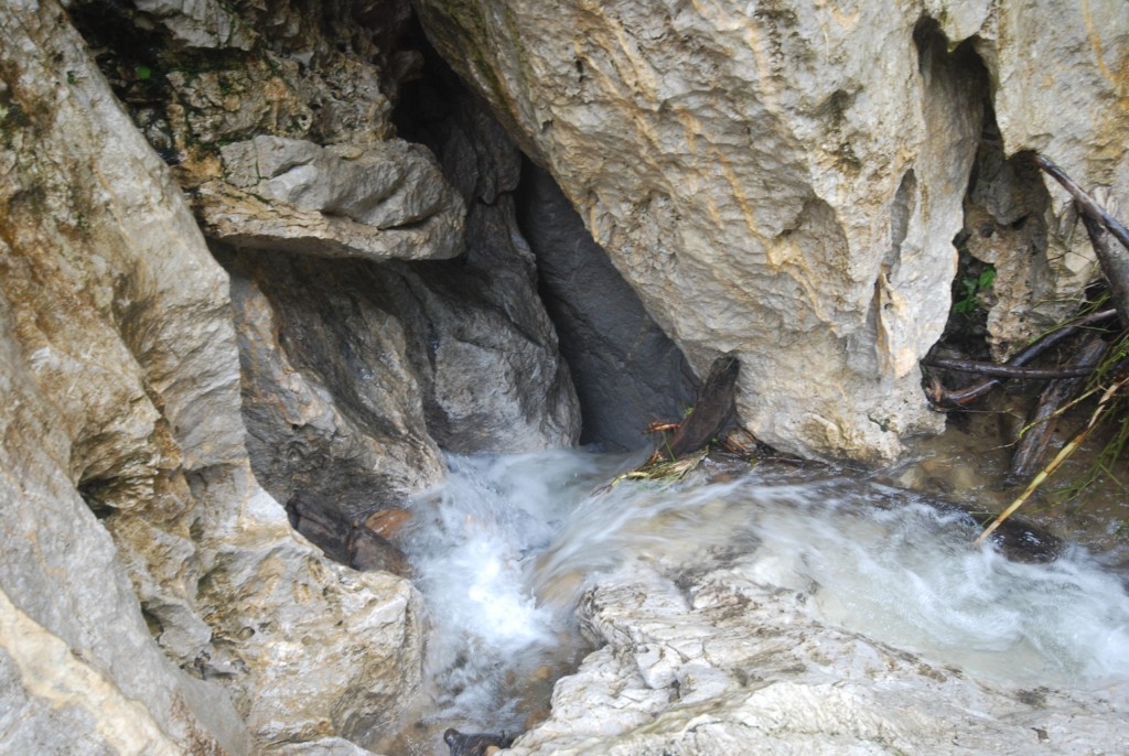
Ō-Maikomi (Nunakawa Cave)
(Vertical Cave, Depth 345 m)
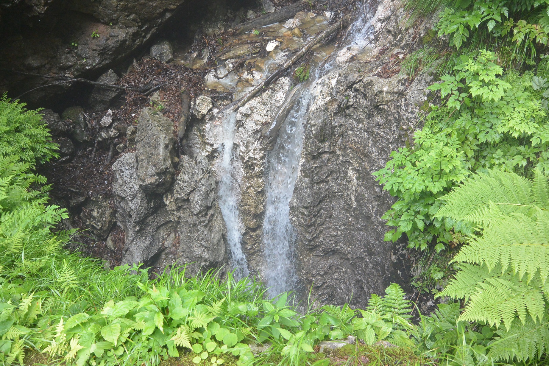
Byakurendō (White Lotus Cave)
(Vertical Cave, Depth 513 m)
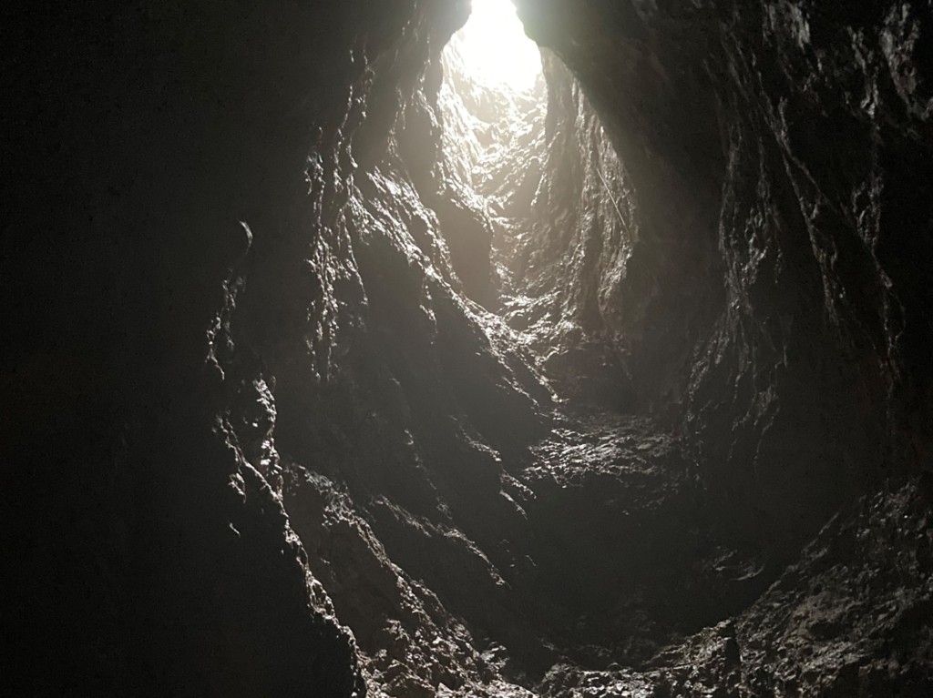
Tsūtendō (Cave to the Heavens) (Interior)
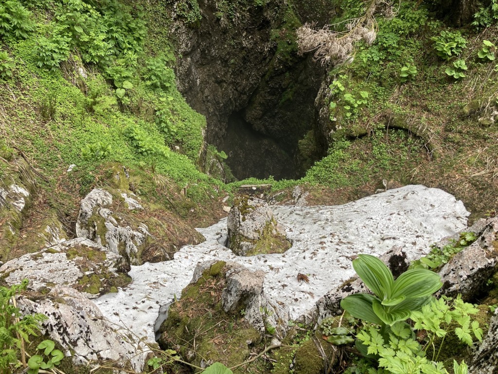
Senridō (Thousand Ri Cave)
(Vertical Cave, Depth 405 m)
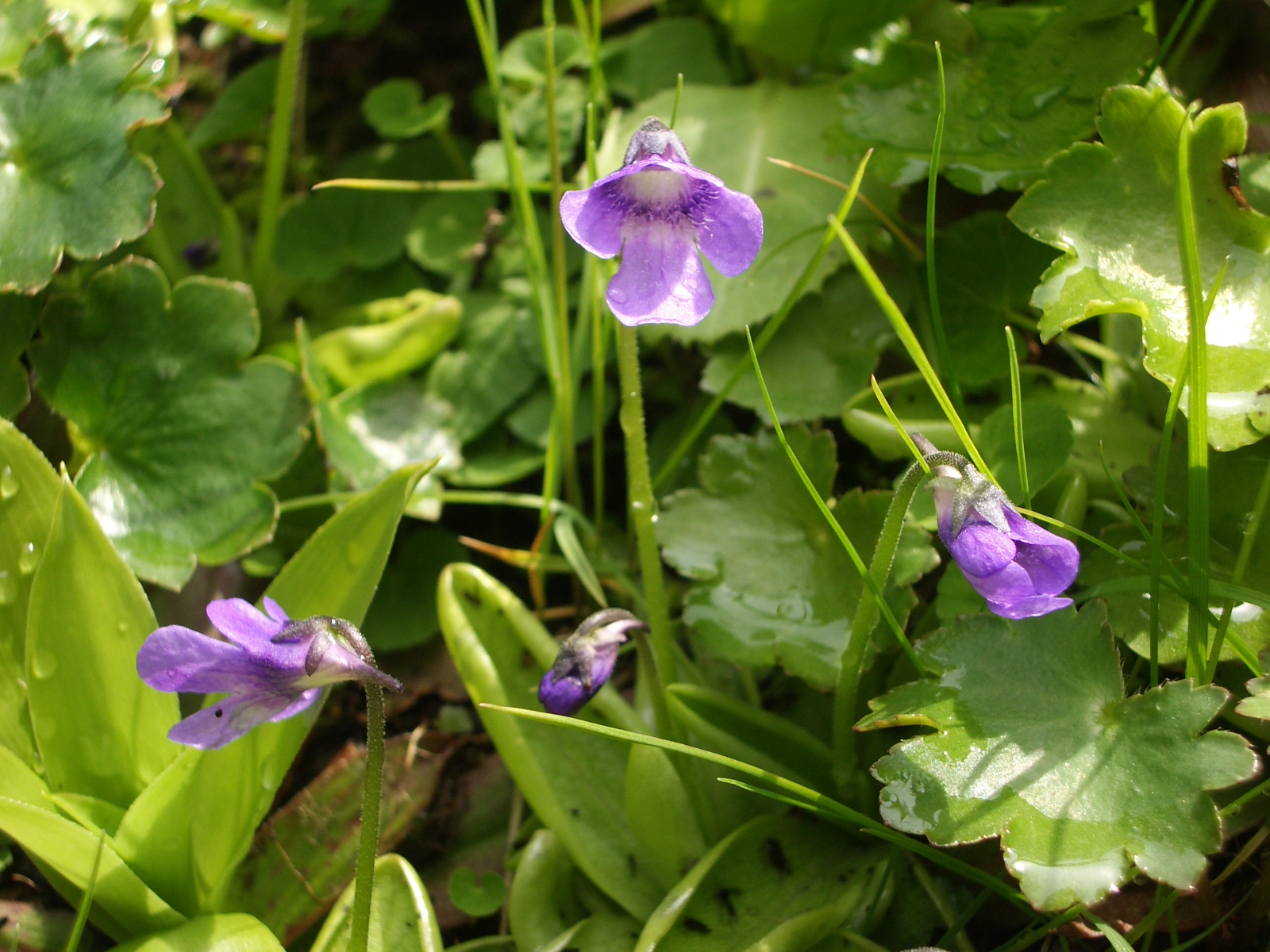
Common Butterwort
Pinguicula vulgaris
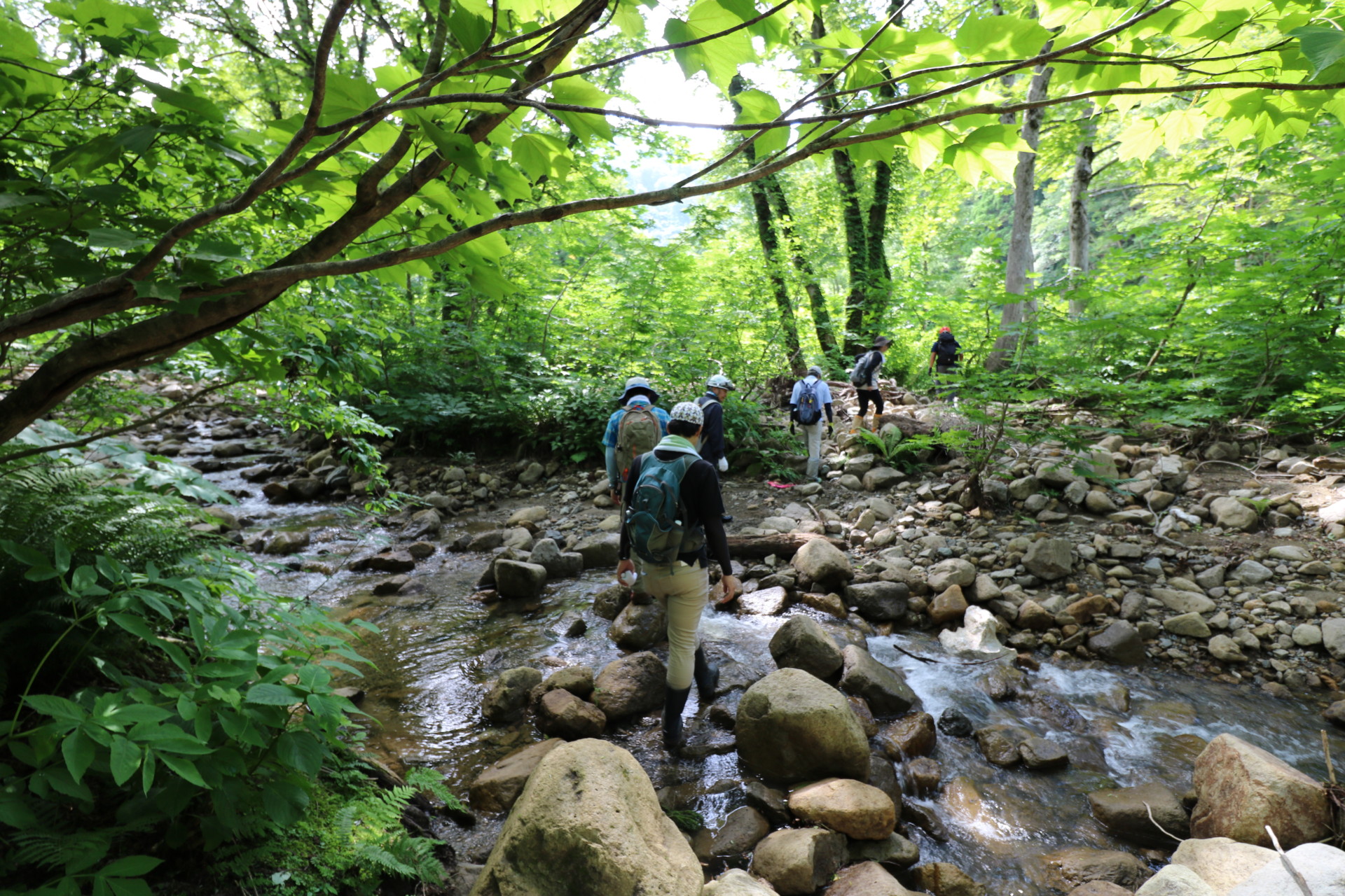
Maikomidaira Tour
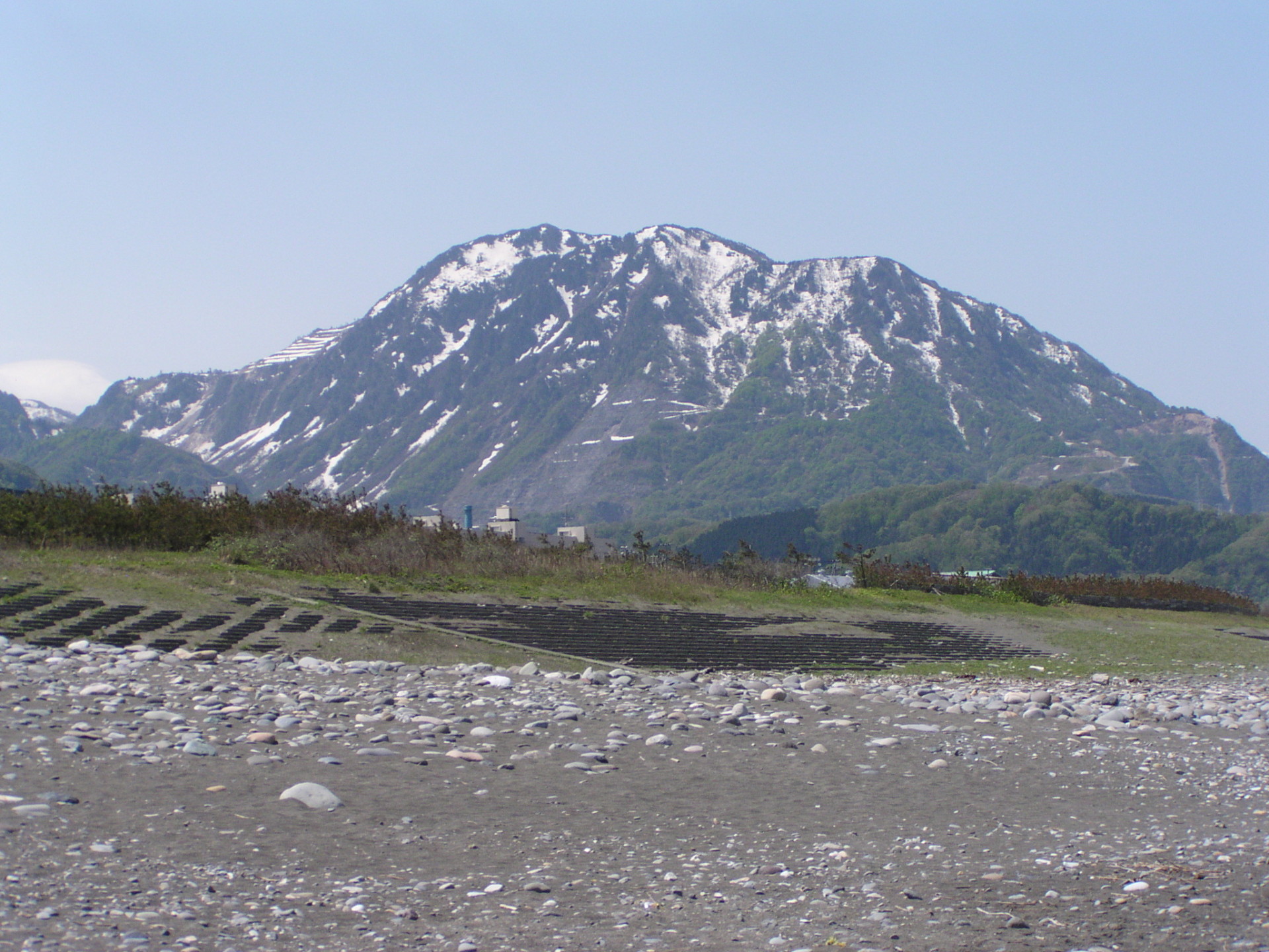
Mt. Kurohime (1,222 m)
※Maikomidaira Area can only be accessed during the Maikomidaira Tour
For more information about the tour, please check the Latest News & Events.


