Outline
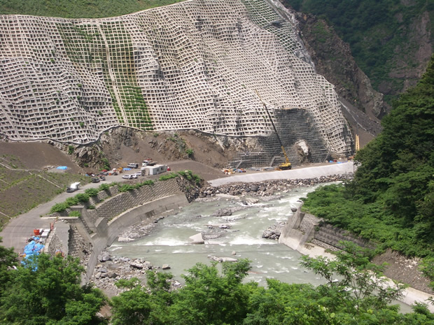
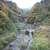
The Himekawa Gorge ranges in depth from 200 to 500 meters and was formed by the intense erosion of the surrounding mountains by the Himekawa River. Along Kuzuha Pass, bordering Nagano prefecture, you can easily observe the erosion and denudation of the mountains in this ravine.
Kuzuha Pass itself, located on the west bank of the Himekawa River, was formed as a result of the collapse of Mt. Manaitayama which sits on the opposite side of the river. This plateau-like block is 150 m high from the riverbed and is 1 km by 500 m in area. This block consists of a layer of fragile Permian sedimentary rock on top of a section of clay-like breccia. We can estimate the speed of erosion of this valley through these collapses. By observing wood fossils trapped in the clay bed, we know that two collapses occurred, one 500 and the other 1000 years ago.
At the Gamaharazawa River, a tributary of the Himekawa River, a large avalanche of earth, rocks, and other debris occurred, killing 14 people. A monument was erected at the site in memory of those lost.
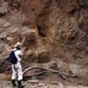 Collapsed geology (colluvium) at Kuzuha Pass
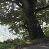 Bokka Horse Chestnut—Once an important landmark for travelers
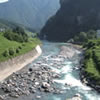 Himekawa River
 Gamaharazawa River
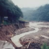 Road washed away in the Flood of July 11
 Cenotaph for the Debris Flow Disaster
Route to Himekawa Gorge
| Departure: | |
|---|---|
| Destination: | |